Geospatial Programming Certificate

Graduate Certificate inGeospatial Programming and Web Map Development

Program summary

Expand your web mapping and coding skills with this online certificate program. Geospatial professionals can learn to create web-based interactive mapping applications that support spatial data science. Prior programming experience is not required.

Application deadline

Apply by April 15 to start May 8

Credits and costs

15 Credits$1,017 per credit

Gain the Skills You Need to be a Successful GIS Developer

As our spatially enabled society grows, so does the need for highly skilled geospatial software developers and web map designers. Take advantage of your opportunity to join this dynamic industry by expanding your web mapping and coding skills — online.

As a student in Penn State's online Graduate Certificate in Geospatial Programming and Web Map Development program, you will learn to script the automation of spatial analysis processes, develop custom user interfaces on top of existing desktop applications, and create web-based interactive mapping applications that support spatial data science. This 15-credit online program is ideal for professionals with intermediate-level experience with GIS applications. No previous programming experience is required.

From Python to JavaScript, QGIS to ArcGIS, and SDE to PostGIS, this certificate covers everything you’ll need to take the next step in your geospatial career.

Why Geospatial Software Development at Penn State?

Penn State's online geospatial education program has been a trusted leader in online education since 1998. Our students and alumni work in more than 150 geospatial organizations around the world in every major sector of the mapping, GIS, remote sensing, and GEOINT industries. You can take pride in knowing you are part of a recognized, award-winning program taught by experts in the field.

Our Online Geospatial Programming Courses

Our online curriculum can help you develop career-ready skills that you can use immediately at work. You can learn how to:

  • apply contemporary programming principles to automate geospatial analysis and mapping processes
  • design and implement custom user interfaces to support mapping and spatial analysis
  • create interactive web mapping applications that support spatial data exploration and analysis
  • develop software that suits the unique challenges of geospatial problems using both proprietary and open source languages and technologies

Accelerated Admission to an Online Master's Program

Any geospatial certificate student who earns a 3.67 grade-point average or higher after completing the first three courses of the certificate may qualify for accelerated admission to the Master of Geographic Information Systems, Master of Science in Spatial Data Science, or Master of Professional Studies in Homeland Security – Intelligence and Geospatial Analysis option. Advantages of accelerated admissions include:

  • No GRE test is required
  • No professional experience is required
  • No letters of recommendation are required
  • Admission decisions are made on a rolling basis, year-round

Information for Military and Veterans

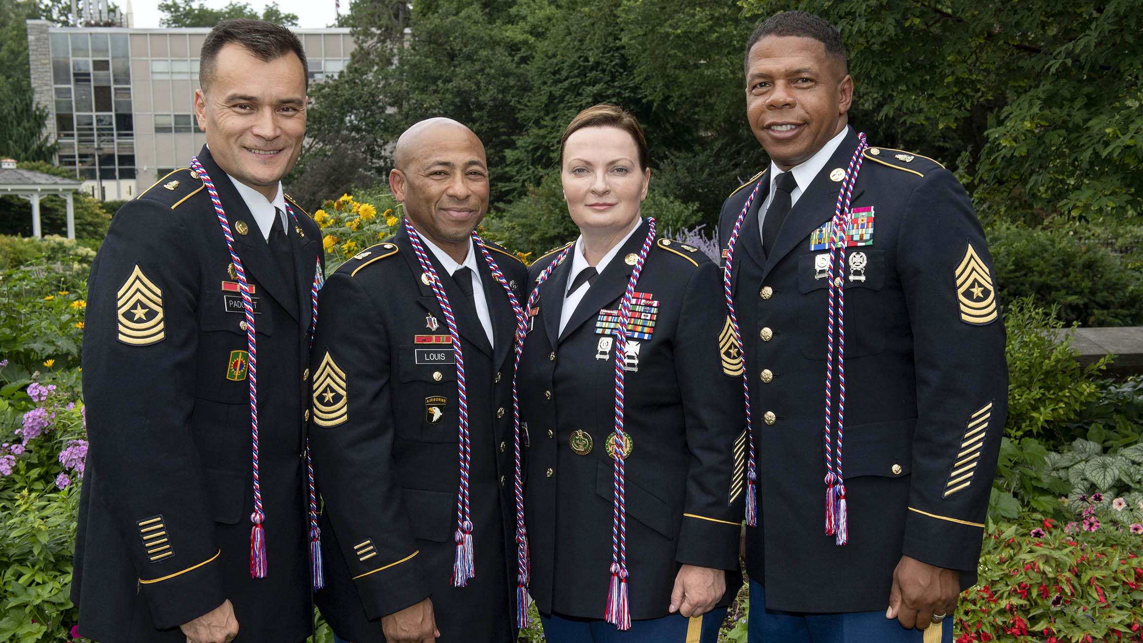
Are you a member of the military, a veteran, or a military spouse? Please visit our military website for additional information regarding financial aid, transfer credits, or application instructions.

Courses

The 15-credit Graduate Certificate in Geospatial Programming and Web Map Development helps geospatial professionals become skillful developers of software for the GIS and web mapping industries.

Our convenient, online format is an ideal choice for working adults who wish to study on a part-time basis and at a distance. Instructor-led courses are asynchronous, so you are not required to login for class at a specific time. The program focuses on peer and faculty engagement to provide a dynamic and enriching learning experience.

Required Courses (9 credits)

  • 3
    credits

    Solve geographic problems by modifying interfaces and automating GIS and mapping tasks using the Python programming language. Technologies: Python, ArcGIS Customizing

    • Prerequisite

      GEOG 484 or equivalent experience

  • 3
    credits

    Design, development, and implementation of web mapping applications using OGC standards and open source software. Technologies: JavaScript, QGIS, GDAL, OGR, GeoServer, TileMill, Leaflet, and OpenStreetMap

    • Prerequisite

      GEOG 485

  • 3
    credits

    Focuses on how geospatial professionals can create applications using industry-related geospatial APIs. Students will build applications using the core web technologies of HTML, CSS, and JavaScript. Technologies: JavaScript, ArcGIS API for JavaScript, ArcGIS Online, CSS

Electives (select 6 credits)

  • 3
    credits

    Theory and practice of cartographic design, emphasizing effective visual thinking and visual communication with geographic information systems. Technologies: ArcGIS Pro, Mapbox Studio, QGIS

    • Prerequisite

      GEOG 484 or permission of the program

  • 3
    credits

    Learn advanced applications of Python for developing and customizing GIS software, designing user interfaces, and solving complex geoprocessing tasks using both proprietary and open source platforms. Technologies: ArcGIS Pro, ArcPy, Jupyter Notebooks, ArcGIS API for Python, QGIS, GDAL/OGR.

    • Prerequisite

      GEOG 485 or permission of the program

  • 3
    credits

    Focuses on the science of analytical reasoning mediated through human-centered interactive geographic visualization and computational methods; provides students with hands-on experience solving complex problems through the design, implementation, and application of geovisual analytics tools.

  • 3
    credits

    Focuses on the application of spatial data science methods and tools to solve real-world problems and model geographic phenomena; build skills to design, implement, and troubleshoot analytical workflows while creating reproducible code for future adaptation.

  • 3
    credits

    Theory and practical applications of using cloud computing and server resources to solve geospatial problems. Technologies: ArcGIS Server, Portal for ArcGIS, ArcGIS Online, GeoServer, CARTO, Amazon Web Services, Mapbox, Google Fusion Tables Theory.

    • Prerequisite

      GEOG 484 or permission of the program

  • 3
    credits

    Advanced topics in the storage, management, and retrieval of geospatial data using common proprietary and open-source relational database technologies. Technologies: SQL, PostGIS, ArcSDE/Multiuser Geodatabases, QGISAdvanced.

Course Availability

If you're ready to see when your courses will be offered, visit our public LionPATH course search (opens in new window) to start planning ahead.

Costs and Financial Aid

Graduate Tuition

Graduate tuition is calculated based on the number of credits for which you register. Tuition is due shortly after each semester begins and rates are assessed every semester of enrollment.

2023–24 Academic Year Rates

Tuition rates for the fall 2023, spring 2024, and summer 2024 semesters.

How many credits do you plan to take per semester?Cost
11 or fewer$1,017 per credit
12 or more$12,203 per semester

2024–25 Academic Year Rates

Tuition rates for the fall 2024, spring 2025, and summer 2025 semesters.

How many credits do you plan to take per semester?Cost
11 or fewer$1,027 per credit
12 or more$12,325 per semester

Financial Aid and Military Benefits

Some students may qualify for financial aid. Take the time to research financial aid, scholarships, and payment options as you prepare to apply. Military service members, veterans, and their spouses or dependents should explore these potential military education benefits and financial aid opportunities, as well.

Paying for Your Certificate

Students pursuing this certificate may be eligible for federal student aid. Find more information from the online geospatial education program office.

Additionally, Penn State offers many ways to pay for your education, including an installment plan and third-party payments. Penn State World Campus also offers an Employer Reimbursement and Tuition Deferment Plan. Learn more about the options for paying for your education.

Students pursuing a degree and meeting all other eligibility requirements may qualify for financial aid.

How to Apply

Deadlines and Important Dates

Applications are reviewed on a rolling basis. Due to the volume of applications received, prospective students are strongly encouraged to submit their application before the deadline:

  • Summer Deadline:  Apply by April 15 to start May 8
  • Fall Deadline:  Apply by August 1 to start August 14
  • Spring Deadline:  Apply by December 15, 2024, to start January 8, 2025

Admissions Help

Did you miss the deadline? If so, please email the program office immediately at [email protected] to learn how you may begin an online course as a nondegree student. Successfully completed credits may be applied toward requirements for the certificate.

Admission Requirements 

For admission to the Graduate School, an applicant must hold either (1) a baccalaureate degree from a regionally accredited U.S. institution or (2) a tertiary (postsecondary) degree that is deemed comparable to a four-year bachelor's degree from a regionally accredited U.S. institution. This degree must be from an officially recognized degree-granting institution in the country in which it operates.

Intermediate-level experience with professional applications of geographic information systems is expected as prerequisite knowledge. Course work to establish that prerequisite knowledge is available through the related Postbaccalaureate Certificate in GIS program.

What You Need

Applications are submitted electronically and include a nonrefundable application fee. You will need to upload the following items as part of your application:

English Proficiency — The language of instruction at Penn State is English. With some exceptions, international applicants must take and submit scores for the Test of English as a Foreign Language (TOEFL) or International English Language Testing System (IELTS). Minimum test scores and exceptions are found in the English Proficiency section on the Graduate School's "Requirements for Graduate Admission" page. Visit the TOEFL website for testing information. Penn State's institutional code is 2660.

GRE test scores are NOT required.

Start Your Application

Begin the graduate school application

• Choose Enrollment Type: "Certificate Admission"
• Choose "WORLD CAMPUS" as the campus
• Choose "Geospatial Programming and Web Map Development" as the certificate

Checking Your Status

You can check the status of your application by using the same login information established for the online application form.

Technical Requirements 

Review the technical requirements for this degree program.

Ready to Learn More?

Get the resources you need to make informed decisions about your education. Request information on this program and other programs of interest by completing this form.

* required1/3

I agree to be contacted via phone, email, and text by Penn State World Campus and affiliates. I understand my information may also be shared with select providers to offer ads that may be of interest to me.Privacy Policy. reCAPTCHA protected. Google Privacy Policy and Terms of Service.

Learn more about this program

Download Program Brochure All my programs

Ready to take the next step toward your Penn State graduate certificate?

Apply by April 15 to start May 8. How to Apply 

Start or Advance Your Career

Example of a map produced by geospatial professionals

You can use the knowledge gained from this program and the support of Penn State career resources to pursue careers in a variety of fields, depending on your goals.


Career Services to Set You Up for Success

Student having a virtual meeting on a laptop with a career counselor

From the day you're accepted as a student, you can access resources and tools provided by Penn State World Campus Career Services to further your career. These resources are beneficial whether you're searching for a job or advancing in an established career.

  • Opportunities to connect with employers
  • Career counselor/coach support
  • Occupation and salary information
  • Internships
  • Graduate school resources 

A Head Start toward a Master’s Degree

A figure standing halfway up a set of stairs leading towards a graduation cap
Not only can this program help create opportunities in your career, it can also give you a solid head start toward a full master’s degree.

Degree Programs Related to This Certificate

Some or all credits earned for this certificate can be applied to the following Penn State World Campus degree programs:

Gain the expertise to design and leverage geographic information systems and spatial analysis tools to tackle real-world problems that impact people and our planet. This online GIS master's degree program allows for flexibility and customization.

Learn more about the Master of Geographic Information Systems

Combine intelligence analysis with geospatial science and technology to gain situational awareness and provide a decisive advantage in preventing and responding to homeland security threats. This online degree program can help improve the accuracy of your organization's most critical intelligence assessments.

Learn more about the Master of Professional Studies in Homeland Security - Intelligence and Geospatial Analysis Option

Learn to create novel solutions that leverage vast amounts of spatial data to solve location-based challenges. This online master’s degree program offers unmatched depth and breadth in spatial data science and will help you seize new opportunities in geospatial science and industry.

Learn more about the Master of Science in Spatial Data Science

Contact Us

Our program specialists are available now to help you with your application and to answer any questions you have about our online geospatial programs. Please contact us with anything you wish to discuss.

Julene Santiago, Geospatial Portfolio Program Assistant
Penn State College of Earth and Mineral Sciences
[email protected]
Phone: 814-865-2557

To see more detailed information about the geospatial portfolio, visit the program website. You can also visit the Open Educational Resources website to preview some of the geospatial courses offered online by the Department of Geography.

For general questions about Penn State World Campus, please contact:

World Campus Admissions Counselors
Phone: 814-863-5386
[email protected]

Faculty

  • Anthony C. Robinson

    • Degree
      Ph.D., Geography, Penn State
    • Degree
      M.S., Geography, Penn State
    • Degree
      B.S., Applied Geography, East Carolina University

    Dr. Anthony C. Robinson is an associate professor and director of online geospatial education at Penn State. He is also assistant director for the GeoVISTA Center. Dr. Robinson is a cartographer who designs and evaluates geovisualization tools to improve geographic information utility and usability. He has worked in epidemiology, crisis management, national security, and education domains to develop and evaluate new methods for visualizing spatial data.

  • Ryan Baxter 

    • Degree
      M.S., Geography, Penn State
    • Degree
      B.A., Geography and Environmental Sciences, Northwestern University

    Ryan Baxter advises students and teaches courses in topics including renewable energy, environmental applications of GIS, cloud and server GIS technologies, and introductory geographic information concepts. He is active in technical research projects involving spatial databases, online data discovery tools, interactive mapping applications, and cloud-based GIS services. He is also engaged in research investigating the spatial modeling of land use change, quantifying the amount of land available for bioenergy feedstocks, and assessing the suitability and productivity of energy crops.

  • Amy Burnicki

    Degree
    Ph.D., Natural Resources & Environment, University of Michigan

    Dr. Amy Burnicki is an associate teaching professor in the Department of Geography. Her research applies spatial data analysis, spatial statistics, and quantitative modeling approaches in the field of land change science and in transportation and environmental engineering applications.

  • James Detwiler

    • Degree
      M.S., Geography, University of Delaware
    • Degree
      B.S., Earth Science, Penn State

    James Detwiler is in a 100% teaching appointment and specializes in GIS programming. He teaches GEOG 485: GIS Programming and Automation; GEOG 863: Web Application Development; and GEOG 868: Spatial Database Management. His research interests are in the areas of applied GIS and climatology. 

  • Panagiotis Giannakis

    • Degree
      Ph.D., Geosciences, University of Arkansas
    • Degree
      M.S., Human Resource Management, Athens University of Economics & Business

    Panagiotis Giannakis is an Assistant Teaching Professor in the Department of Geography and the Dutton e-Education Institute within the College of Earth & Mineral Sciences. He received his PhD from the University of Arkansas, where he also maintained a key role in the advancement of the Online Geospatial Certificate program. His research interests lie at the intersection of Economic Geography, Strategic Management, and Social Networks. More specifically, Panagiotis’ research focuses on the relationship between organizational and physical and/or social network space.

  • Adrienne Goldsberry

    • Degree
      M.A., Geography, University of California - Santa Barbara
    • Degree
      B.A., Geography, The University of Texas at Austin 

    Adrienne Goldsberry is an instructor as well as adviser for students in the Postbaccalaureate Certificate in Geographic Information Systems program. Before joining Penn State, she was an online instructor for Michigan State University's Department of Geography, Environment, and Spatial Sciences and managed its online Professional Certificate in GIS. She also worked as an urban planner for jurisdictions in California, Texas, and Michigan.

  • Fritz Kessler

    • Degree
      Ph.D., Geography, University of Kansas
    • Degree
      M.S., Geography, Penn State
    • Degree
      B.S., Geography, Ohio University

    Dr. Fritz Kessler's teaching interests include cartography, geographic visualization, map projections, spatial analysis, land surveying, geography of health, and statistics. His research interests include map projections, geographic visualization, history of cartography, and cognitive cartography.

  • Beth King 

    • Degree
      M.Ed., Adult Education, Penn State
    • Degree
      B.S., Geography, Penn State

    Beth King is co-author and instructor of GEOG 483: Problem-Solving with GIS; GEOG 482: Making Maps that Matter with GIS; and GEOG 597G: Challenges in Global Geospatial Analytics. She is assistant program manager for Online Geospatial Education and maintains regular communication with students in the MGIS degree program to identify their questions and concerns. Previously, she worked as a GIS analyst for a private water/wastewater engineering firm, where she managed a wide range of GIS projects, from turnkey sanitary sewer conversion to 911 rural addressing.

  • Karen Schuckman

    • Degree
      M.S., Geographic Information Systems, Penn State
    • Degree
      B.A., Liberal Arts, Penn State
    • Degree
      B.S., Meteorology, Penn State

    Karen Schuckman's teaching and research interests include applications of airborne and spaceborne remote sensing to topographic mapping, land-use/land-cover analysis, positional accuracy assessment of remotely sensed base map data products, and other geospatial applications.

  • Gregory Thomas

    • Degree
      Ph.D., Administration and Leadership Studies, Indiana University of Pennsylvania
    • Degree
      MPA, Penn State
    • Degree
      B.S., Criminal Justice, Shippensburg University of Pennsylvania

    Dr. Gregory Thomas has experience developing intelligence for decision-makers, supervising the analytical process, and providing team guidance. He also has experience teaching intelligence and analytical techniques to college students as well as intelligence analysts and law enforcement personnel. He has developed operational intelligence to support criminal investigations and anti-terrorism activities, and has selected, trained, and supervised analysts in a criminal intelligence center. His teaching and research focus on geospatial intelligence analysis, homeland security, and criminal intelligence.

  • Michelle Zeiders

    • Degree
      M.S., Geoenvironmental Studies, Shippensburg University of Pennsylvania
    • Degree
      B.S., Public Administration, Shippensburg University of Pennsylvania

    Michelle Zeiders teaches GEOG 483: Problem-Solving with GIS; GEOG 484: GIS Database Development; and GEOG 487: Environmental Applications of GIS. She has been teaching introductory and software-intensive GIS courses since 1998. Prior to joining the geospatial education program, she worked as a GIS programmer/instructor for the Penn State Population Research Institute, a GIS project manager/instructor for the Institute for Transportation Research and Education at North Carolina State University, a GIS project manager at a private civil engineering firm, and a GIS analyst at MapQuest.


Ready to take the next step toward your Penn State graduate certificate?

Apply by April 15 to start May 8. How to Apply