100% Online
Complete your Penn State course work at your own pace and 100% online.
Application deadline
Credits and costs
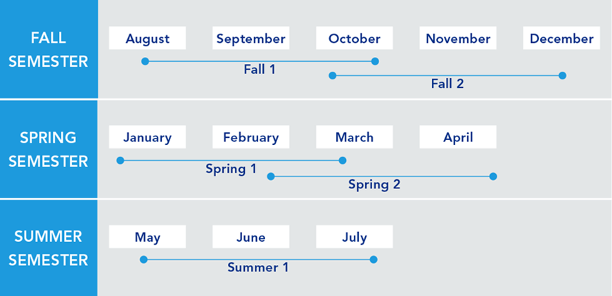
10-Week Terms
Finish your program faster with accelerated 10-week terms.
Make Analytic Judgements about a Broad Spectrum of Problems
Integrate science, analytics, and the intelligence process to identify prominent threats to civil security.
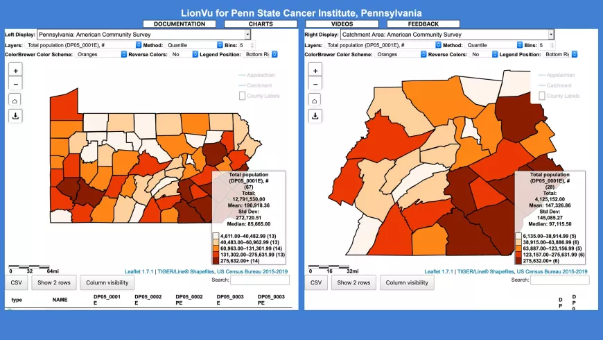
Use geospatial data to address problem scenarios faced by the geospatial intelligence (GEOINT) professional.
Understand how GIS facilitates data analysis and communication to address common problems.
Apply and interpret results of non-quantitative analysis and modeling techniques.
Start or Advance Your Career

Start or Advance Your Career
You can use the knowledge gained from this program and the support of Penn State career resources to pursue careers in a variety of fields, depending on your goals.

Ready to Learn More?
Get the resources you need to make informed decisions about your education. Request information on this program and other programs of interest by completing this form.
A Head Start toward a Master’s Degree

A Head Start toward a Master’s Degree
Not only can this program help create opportunities in your career, it can also give you a solid head start toward a full master’s degree.
Who Should Apply?
Whether you’re an experienced GEOINT practitioner looking to advance in your current role, an intelligence professional serving abroad, or a novice hoping to launch a career as a GEOINT or imagery analyst, this program is for you.
USGIF–Accredited
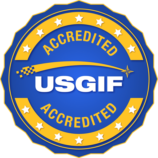
Penn State's online GEOINT analytics certificate program is fully accredited by the United States Geospatial Intelligence Foundation (USGIF). When you earn a certificate in GEOINT analytics from Penn State, you will also receive a certificate from the USGIF.
Earn Your Certificate in One Year
Whether you are looking to finish your program as quickly as possible or balance your studies with your busy life, Penn State World Campus can help you achieve your education goals. Many students take one or two courses per semester.
Convenient Online Format
This program's convenient online format gives you the flexibility you need to study around your busy schedule. You can skip the lengthy commute without sacrificing the quality of your education and prepare yourself for more rewarding career opportunities without leaving your home.
A Trusted Leader in Online Education

Penn State has a history of more than 100 years of distance education, and World Campus has been a leader in online learning for more than two decades. Our online learning environment offers the same quality education that our students experience on campus.
Information for Military and Veterans

Are you a member of the military, a veteran, or a military spouse? Please visit our military website for additional information regarding financial aid, transfer credits, and application instructions.
How to Apply to Penn State

How to Apply to Penn State
Apply by August 1 to start August 13
Contact Us

Contact Us
Have questions or want more information? We're happy to talk.