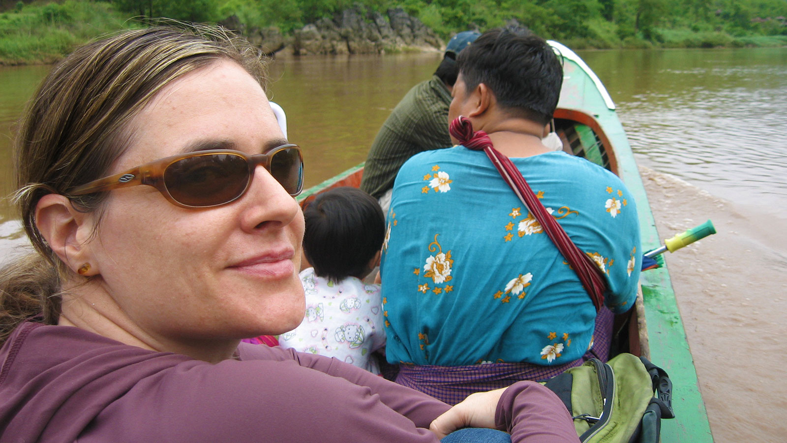
Lyndy Worsham

My experience has changed my life by giving me high-demand technical knowledge and troubleshooting skills.
Lyndy Worsham wears a headlamp and sits on a straw mat, creating maps while connected to the Internet via her cell phone. In 2007, the Thailand Burma Border Consortium hired her to conduct research on the root causes of displacement of refugees.
The job requires her to make thematic maps and provide on-site GIS technical support and training for ethnic community–based organizations. However, because she initially lacked GIS experience, she needed training that was easily accessible.
Lyndy turned to Penn State's online certificate program in GIS to help her develop the technical skills required to create the maps and support the refugees who assisted her along the Thailand-Burma border. Her online learning experience was unique; she printed out her assignments and carried them with her on the long, winding bus ride to the border.
Often she sat in her bungalow and connected her computer to her cell phone so she could upload her weekly assignments. Now that she has completed the program, she sees a significant difference in the maps she produces, and she can provide far better training for her staff.
Today those community organizations along the border collect critical data related to displaced villages, relocation sites, military battalions, and development projects from affected areas across 37 townships and 6 states and divisions of Burma. The information is published in an annual survey that tracks the scale, distribution, and characteristics of internal displacement in eastern Burma. Lyndy's maps are a major part of this publication, and they help policymakers, donors, and concerned citizens better visualize the human rights situation in eastern Burma.