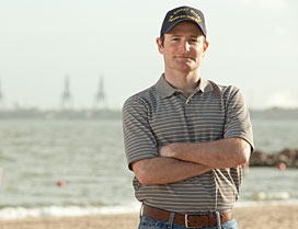
Rusty Rex

The World Campus certificate has given me an extra dimension to my professional toolkit. It is truly a unique program. The new perspectives and knowledge gave me more drive and confidence to always continue thinking and ask questions in the office and in everyday life.
The explosion of the Deepwater Horizon rig in the Gulf of Mexico caused the worst oil spill in U.S. history — and Rusty Rex, a geographic information systems (GIS) specialist working in that region, helped direct responders to specific sites in the aftermath of the disaster. He credits his course work for the World Campus Graduate Certificate in Geospatial Intelligence with preparing him for his role.
"With resources from different states and countries pouring into the Gulf Coast, simple maps became a hot item. Properly managing, organizing, and documenting this data became critical," he said. "We became a key part of planning and operations; our maps and statistics helped decision-makers provide answers and relay this information. It was a very fast-paced, dynamic environment."
Rusty's World Campus education helped him understand the potential difficulties of working with multiple government entities, the military, and contractors: "I had course work that specifically addressed disaster response, and I was prepared," he said. His discussions with classmates who had worked in previous incidents, as well as reviewing case studies of Hurricane Katrina and the tsunami in Asia in 2004, also proved invaluable.
Because of his busy schedule, Rusty needed a flexible education program, and he chose the World Campus certificate program in geospatial intelligence because "high-quality graduate education can be hard to find in geospatial science disciplines like GIS, and the World Campus offers programs that simply aren't available elsewhere."
Rusty added, "The World Campus certificate has given me an extra dimension to my professional toolkit. It is truly a unique program. The new perspectives and knowledge gave me more drive and confidence to always continue thinking and ask questions in the office and in everyday life."